defect_high_curve_number.JPG
Capture.JPG
area_of_interest_3.jpg
multiple_watersheds_blue.jpg
analyze_stormwater_menu.png
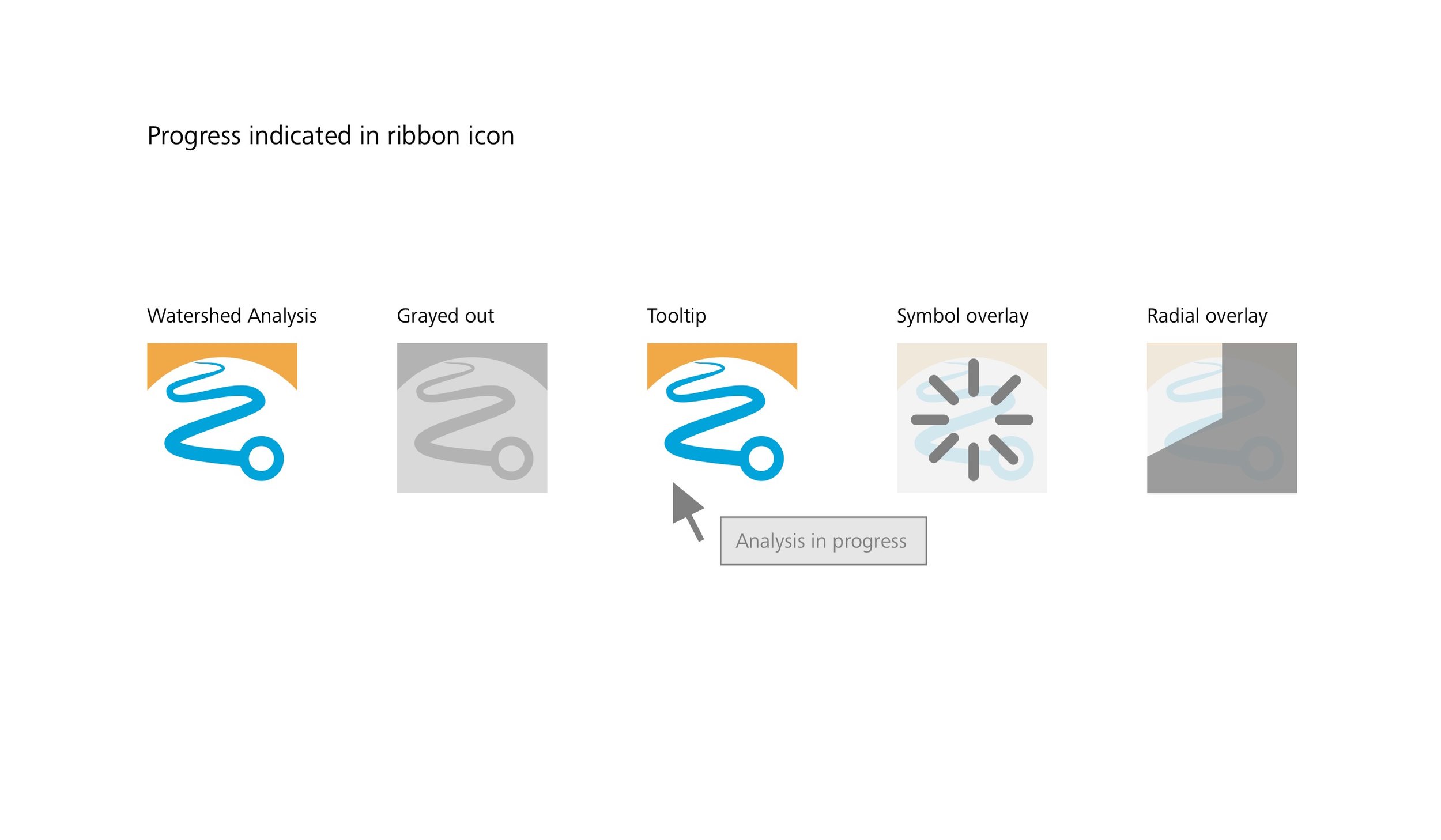
us4031_watershed_analysis_progress.png
stream crossings object card.png
us_8877_multiple_watersheds.pdf.png
drainage tasks.jpg
drainage_tools_map_v3.jpg
adventures_in_drainage_research.jpg
analyze_big_data.jpg
drainage_ui_patterns_1.jpg
drainage_ui_patterns_2.jpg
us4031_title_variations.png
crosshair_icon.png
line_icon.png
road_icon.png
watershed_analysis_dialog.png
watershed_from_road.png
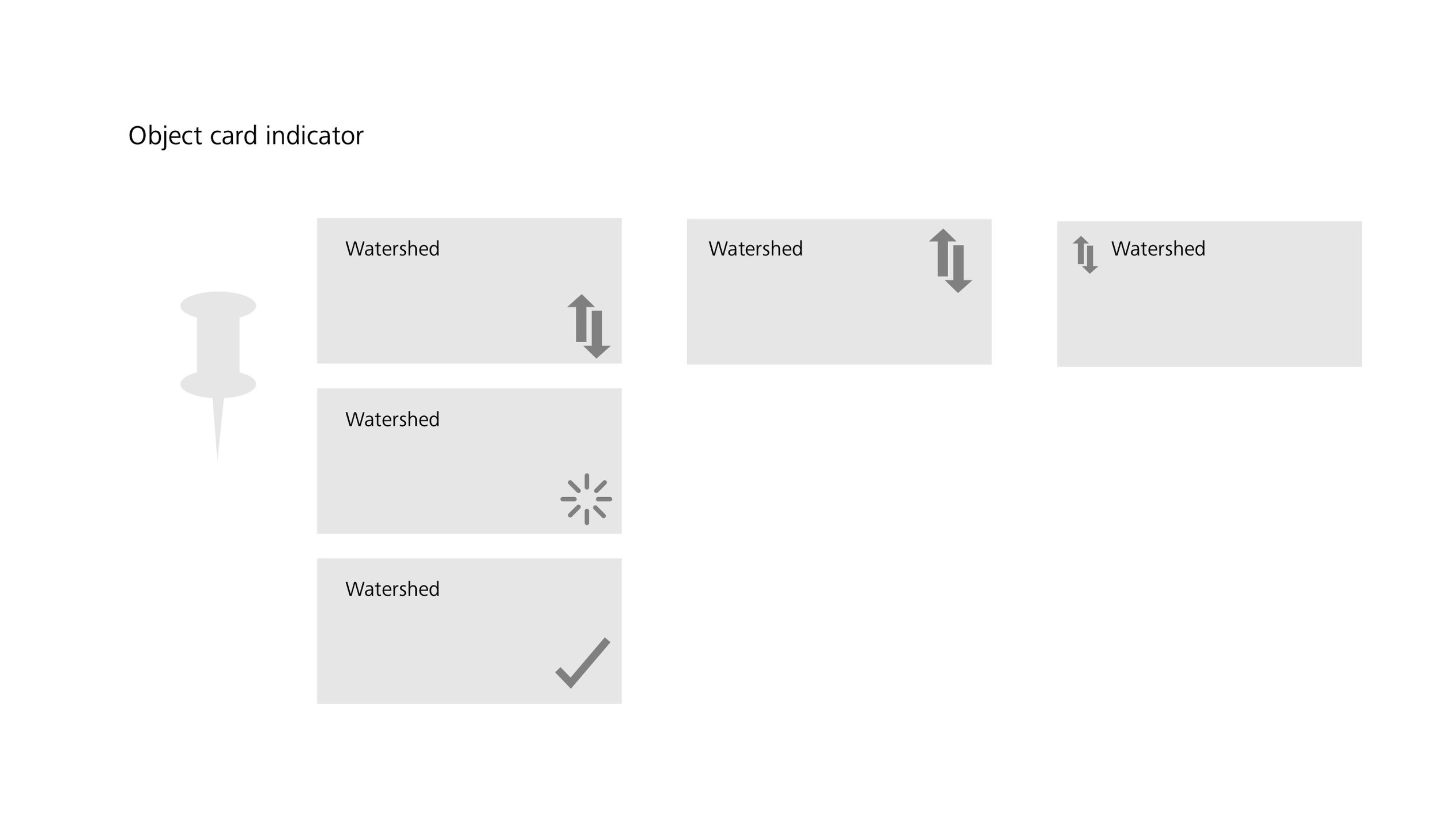
watershed_object_card.png
watershed_icon_sketches.jpg
watershed-icon-en-situ_v7.png
watersheds.jpg
watershed_icon.png
watershed_crossing_work_in_progress.png
Page 1.png
area_of_interest_1.jpg
area_of_interest_2.jpg
area_of_interest_3.jpg
showing time without showing time 8.jpeg
showing time without showing time 9.jpeg
showing time without showing time 12.jpeg
showing time without showing time 10.jpeg
showing time without showing time 11.jpeg
showing time without showing time 13.jpeg
showing time without showing time 14.jpeg
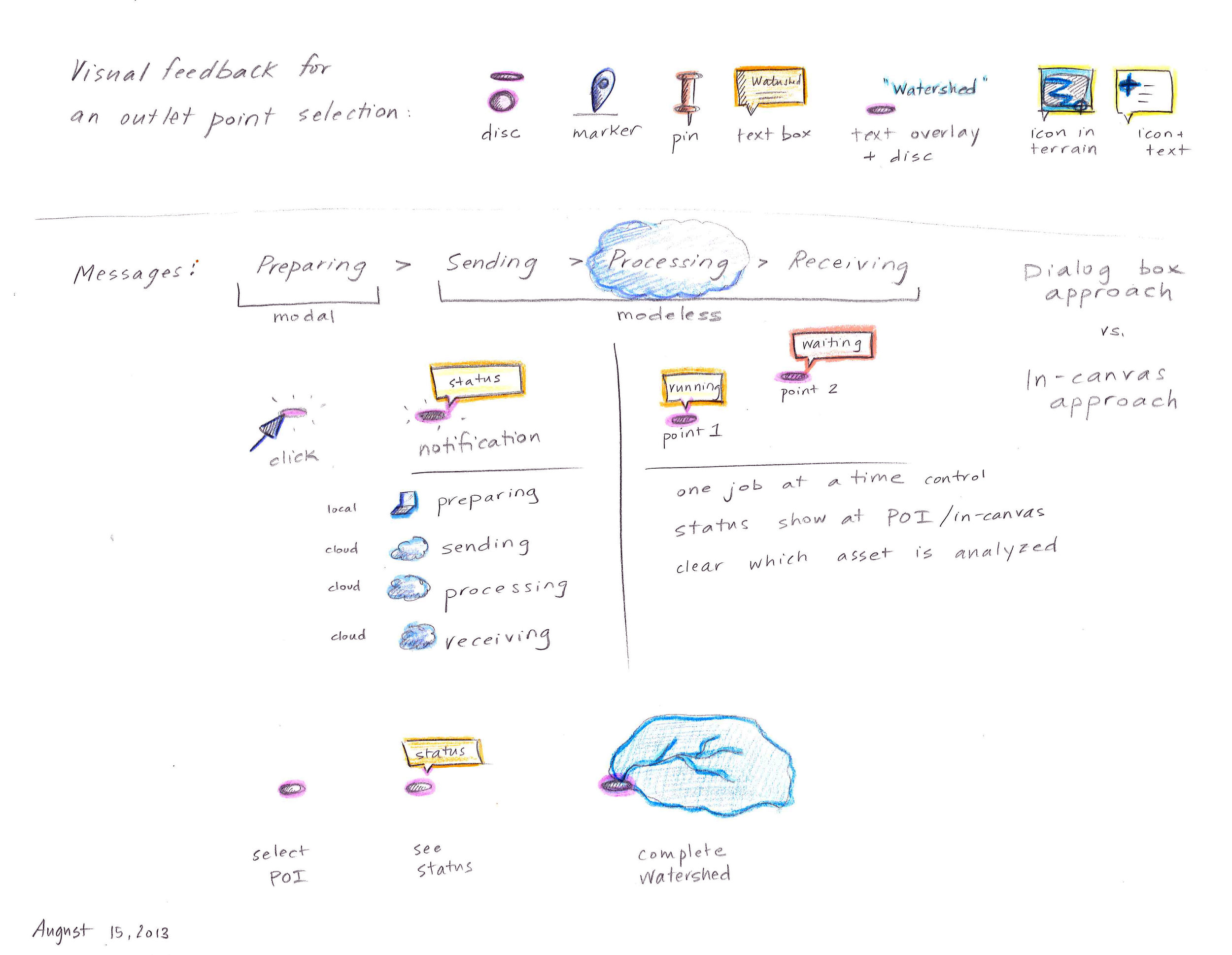
watershed_analysis_messages.png
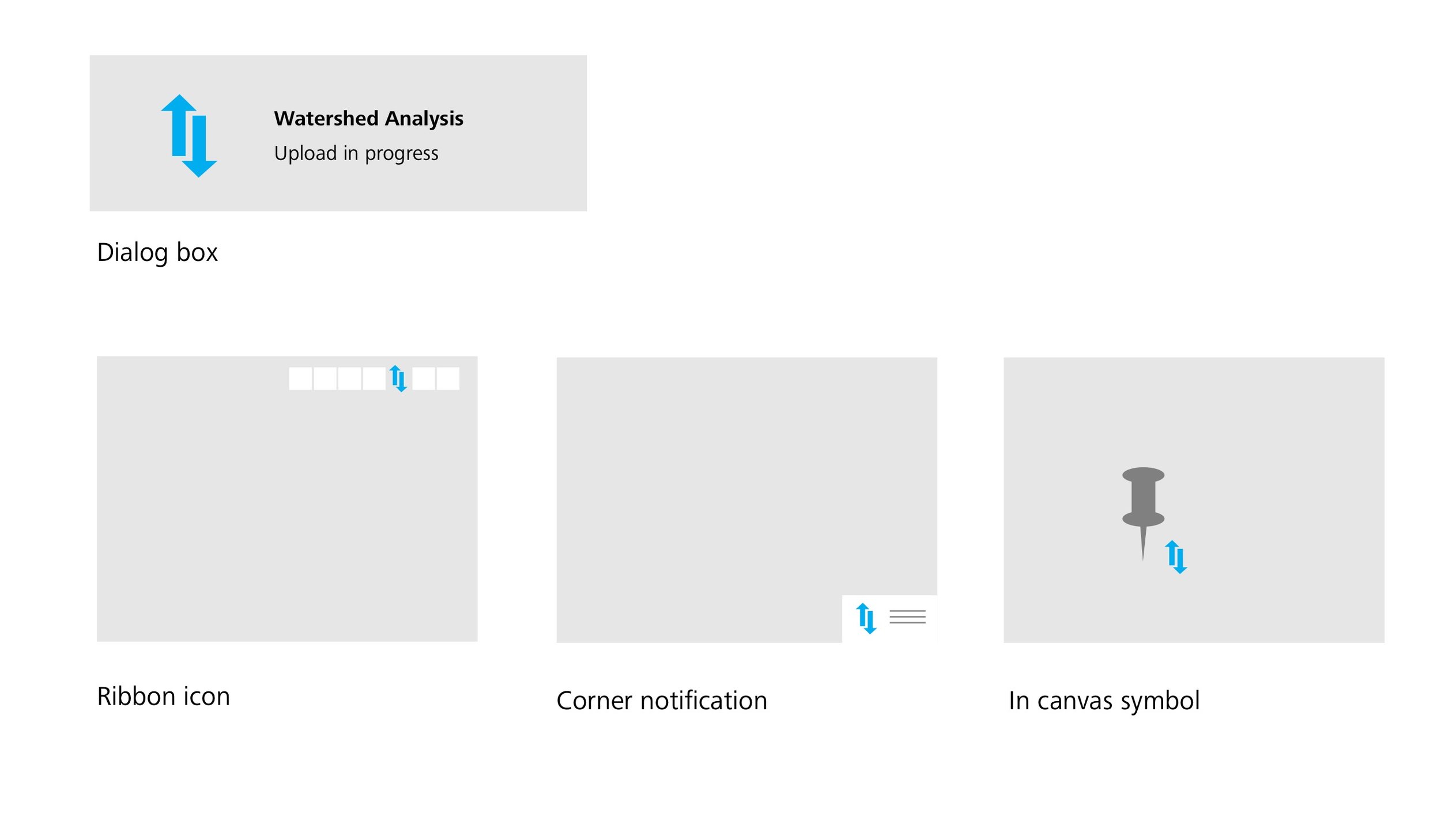
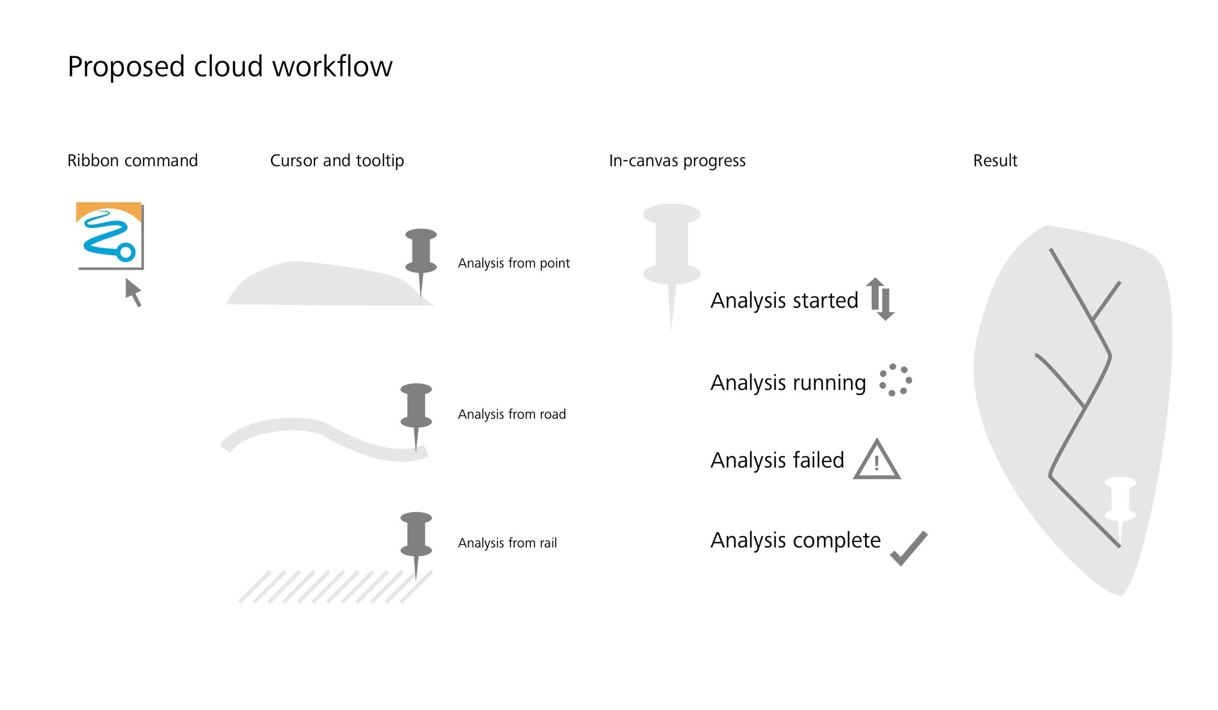
cloud_messages_in_canvas.png
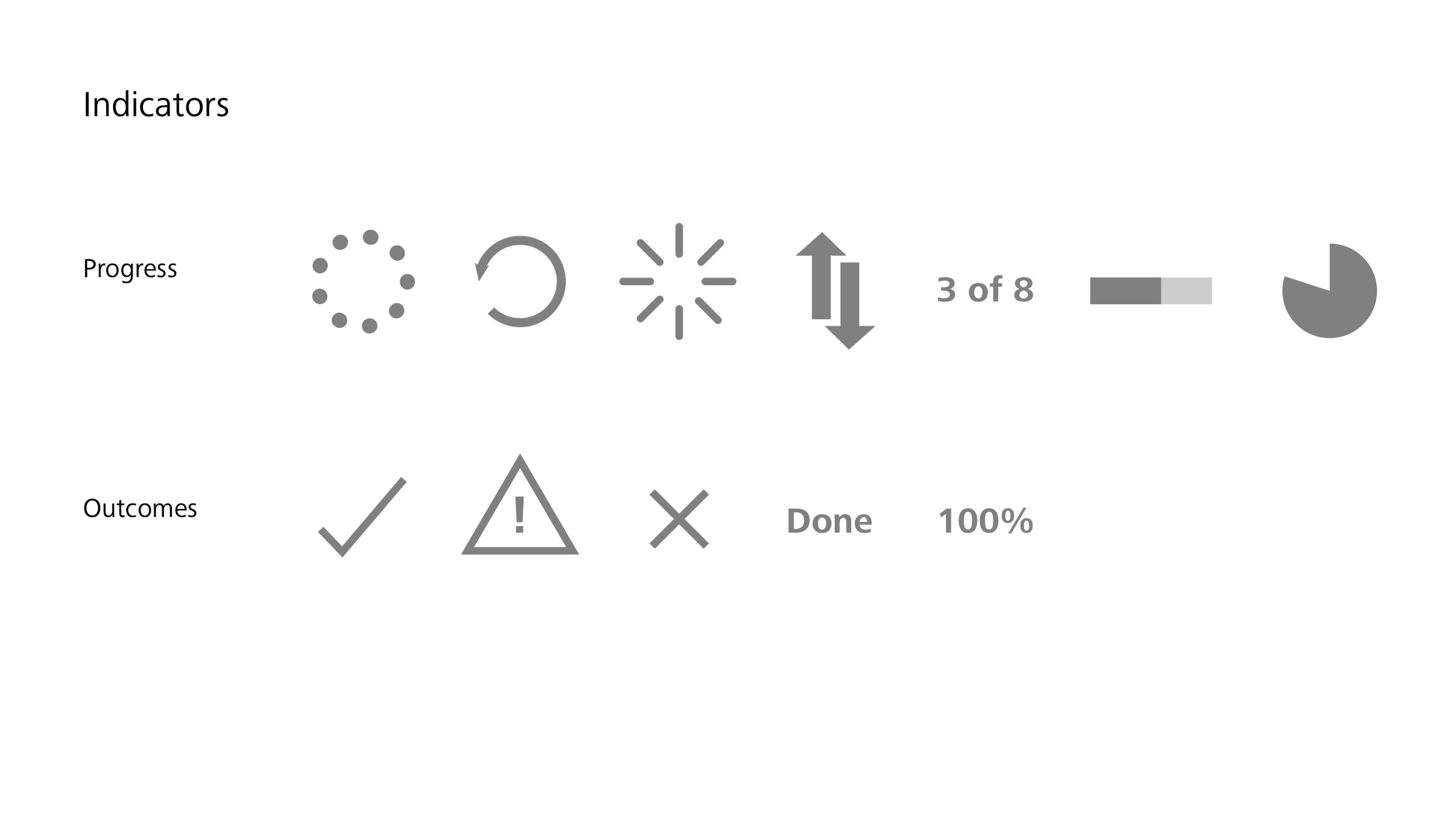
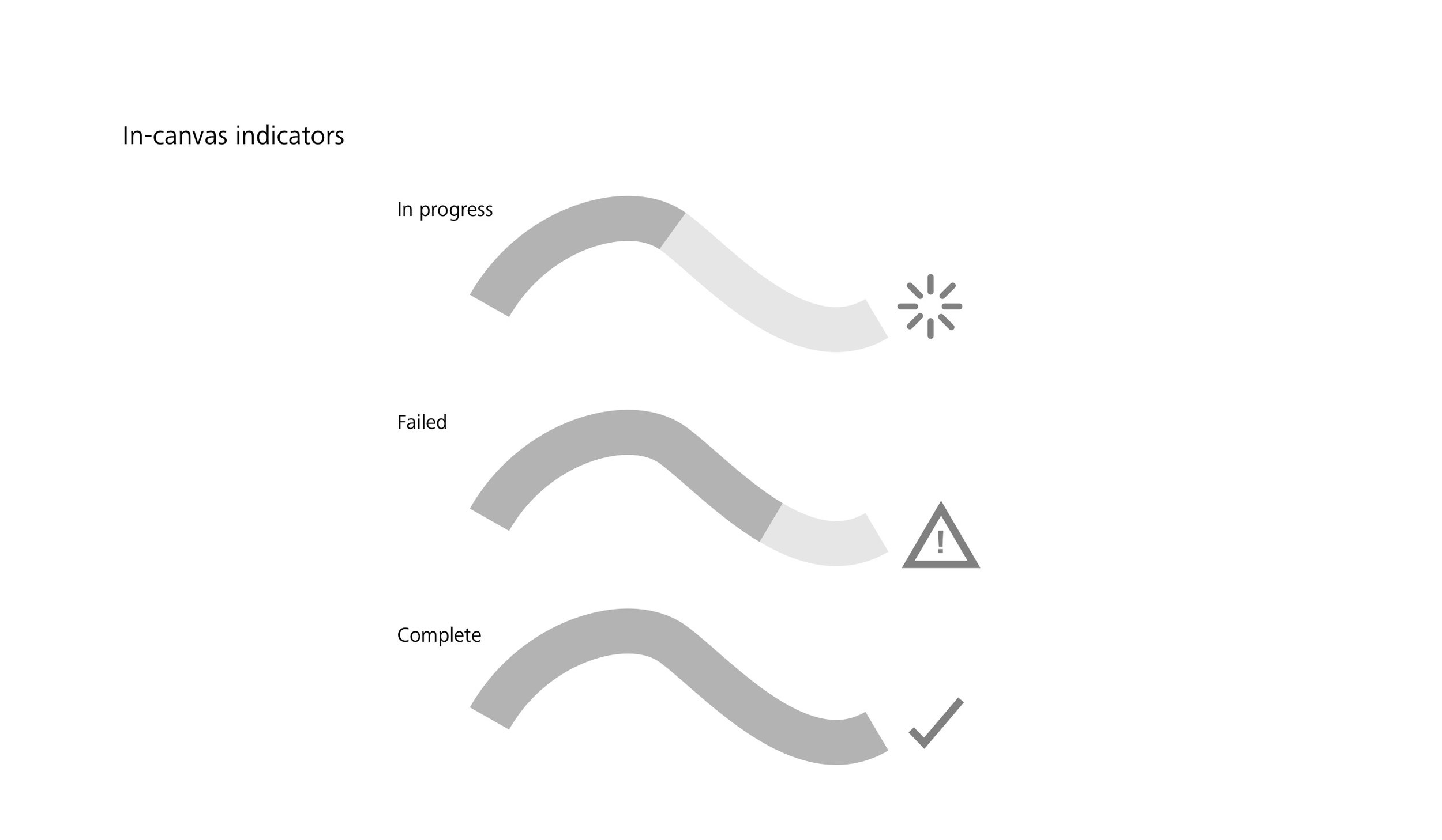
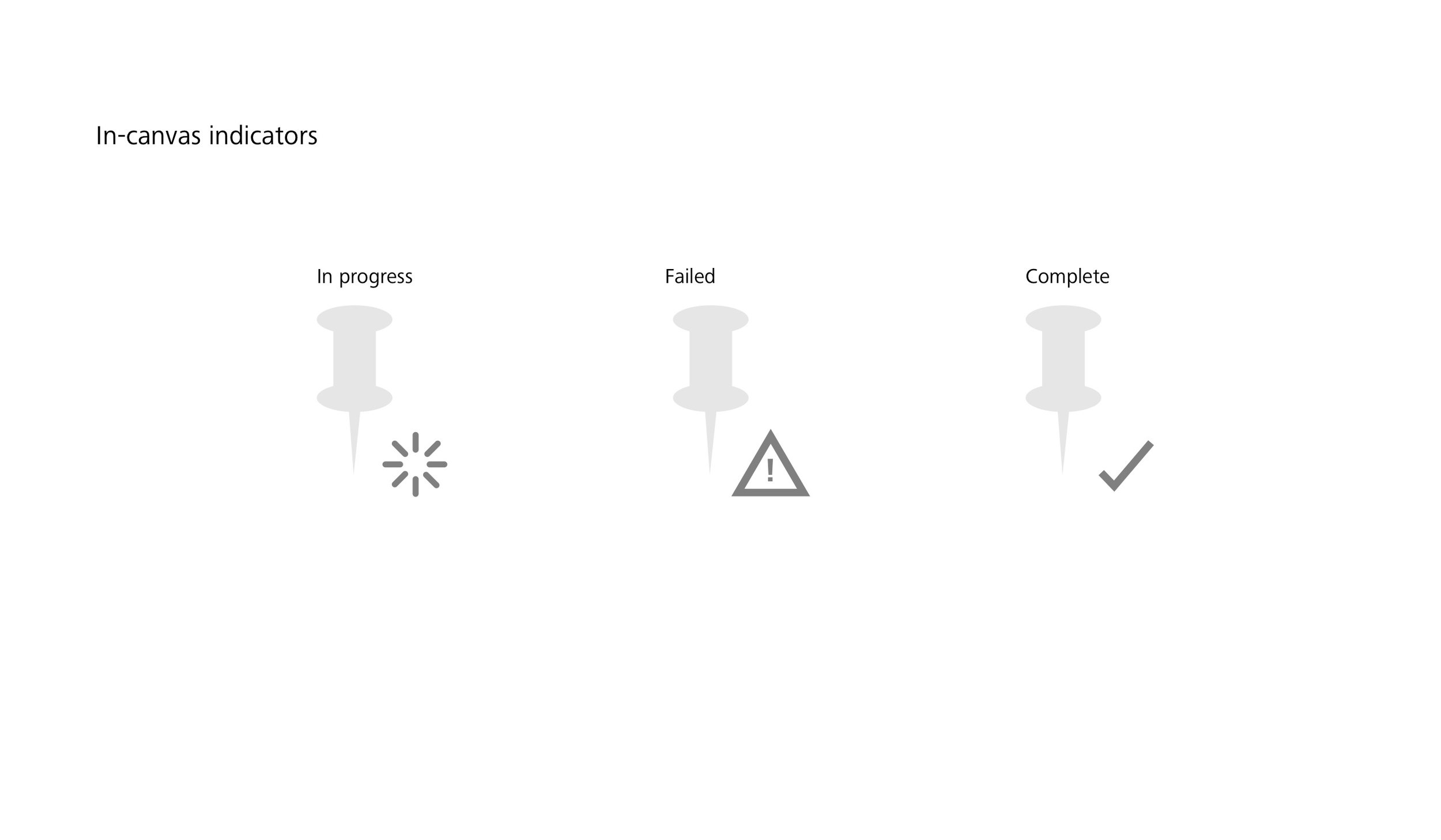
in_canvas_progress_indicator.jpg
watershed_analysis_cloud_Page_01.jpg
watershed_analysis_cloud_Page_02.jpg
watershed_analysis_cloud_Page_03.jpg
watershed_analysis_cloud_Page_04.jpg
watershed_analysis_cloud_Page_05.jpg
watershed_analysis_cloud_Page_06.jpg
watershed_analysis_cloud_Page_07.jpg
watershed_analysis_cloud_Page_08.jpg
watershed_analysis_cloud_Page_09.jpg
watershed_analysis_cloud_Page_10.jpg
watershed_analysis_cloud_Page_11.jpg
watershed_analysis_cloud_Page_12.jpg
prev / next